Routing on to impassable 4x4 trails
When routing in from Thornton, CO to Camp Dick, Lyons, CO, ABRP will avoid Hwy 72 and instead try to route on 4×4 trails. These are off road trails that are nearly impassable. This could be dangerous for someone less familiar with the area and it doesn’t even make sense as the major road is passable parallel to these roads.
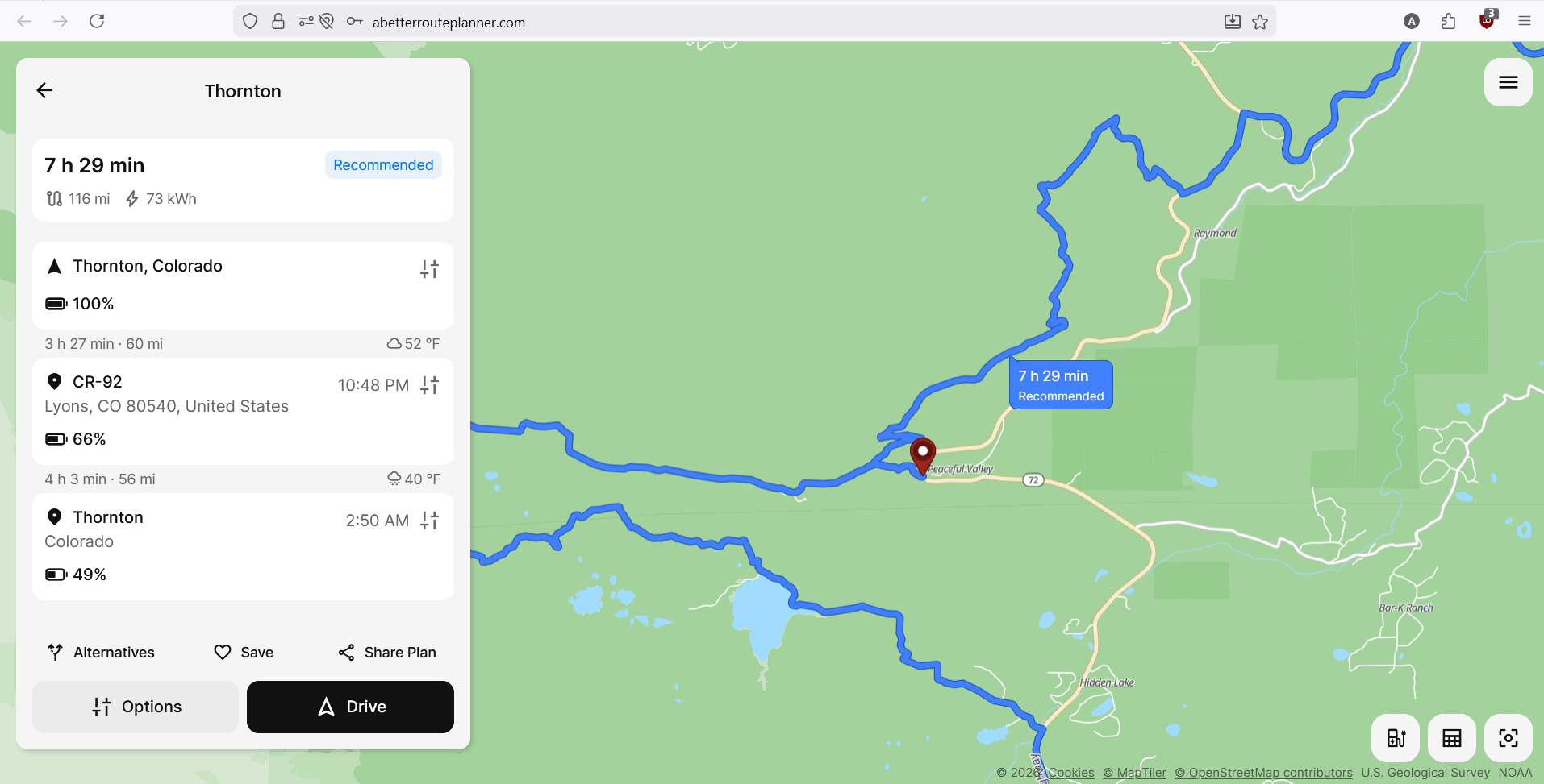
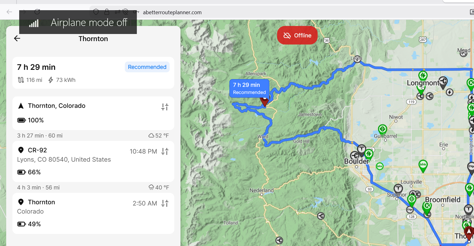
https://abetterrouteplanner.com/?plan_uuid=2-69b6098a-ca7d222f2c6d64a8508e8491
- Where does this happen?
- ABRP version number (found at bottom of settings menu)
Log in to comment and vote
Comments2
Bo (ABRP)
Mar 16
Thanks for reporting! I tried running your plan above and it produces reasonable routes, not the ones from your screenshot - so it could have been traffic or incident reporting which caused it. Could you try it again?
Andrew Gillott
Mar 17
I agree it seems to work now. I did double check the route at the time with other route planners like Google Maps to make sure it wasn’t just a closed road and they confirmed the optimal routing seemed to be open and clear. I concede it is possible that ABRP was able to get information that Google didn’t have. My one concern that still stands is that the alternate routing suggested is a jeep trail and anyone taking that route could end up on a “road” they have no business being on.